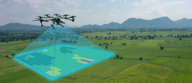
The government of Andhra Pradesh has started an integrated land survey under YSR Jagananna Permanent Land Protection Scheme.
Siddhartha Jain, Commissioner, State Survey Settlement and Land Records, told the media that the survey would include more than 1.26 lakh sq km of land across the state.
The commissioner said that the integrated survey would include all kinds of land comprising agriculture, non-agriculture, urban and rural habitations. The survey would be done in hybrid methodology utilising drones, CORS network and GNSS receivers. The work process was submitted to the judicial preview commission for scrutiny.
He said that the survey would need the hiring of drone and aerial photography as an end-to-end solution for the large-scale mapping of agriculture and residential land depending on the extent owned by every person.
 279
279
 899
899
 330
330
 999
999
 1391
1391
 1599
1599
 350
350
 1001
1001
 231
231
 1049
1049
 711
711
 1001
1001
 2207
2207
 3199
3199
 270
270
 999
999
 370
370
 999
999
 266
266
 699
699
 270
270
 999
999
 1887
1887
 2995
2995
 1002
1002
 1699
1699
 200
200
 399
399
 270
270
 899
899